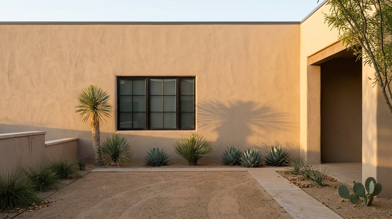
Step off the curb on a High Desert cul-de-sac and you can be on singletrack in under ten minutes without ever loading a dog into a car. That is the neighborhood's quiet distinction, and it is the reason a morning walk here is structured differently than one that starts at a public trailhead on the other side of Tramway.
Most write-ups treat the Sandia foothills as a nearby amenity. In High Desert they are closer to an extension of the street grid, stitched together by an arroyo and open-space system the neighborhood itself owns and maintains. Understanding that ownership boundary is the difference between a routine morning and an unexpected exchange with a ranger or a neighbor.
The thesis, in one paragraph
The trails you walk from home cross three jurisdictions in about a mile. The first stretch is High Desert Residential Owners Association property. The next is City of Albuquerque Open Space. The last is Cibola National Forest, federally managed by the US Forest Service. The innovative arroyo system was designed to preserve native habitat, and today the High Desert Residential Owners Association owns and maintains the open spaces within the community, including the arroyos. The rules for pets, parking, and access shift at each boundary, and a lot of long-time residents still get it wrong.
The trailhead most residents actually use
The Michial Emery Trailhead is named after an engineer with the Bohannan-Huston firm who played a principal role in developing the High Desert arroyo system, and who as an avid outdoorsman pushed for a development pattern that preserved the original character of the environment. The trailhead sits off High Desert Place NE.
From that single parking area, three loops cover almost every mood a morning can have:
- The short one. The Michial M. Emery and Trail 305 loop is a 3.3-mile route generally considered easy, averaging about 1 hour 18 minutes. Good for a pre-work walk with coffee waiting at the end.
- The moderate one. The Michial M. Emery, Trail 305a, and Trail 365 loop runs about 5 miles with 452 feet of gain and takes 2 to 2.5 hours. There is no shade along this route, so hydration matters even in cool months.
- The long spine. Trail 365 parallels the ridgeline at the base of the mountains for 12.7 miles and can be accessed from Embudito, Piedra Lisa, Menaul, and Embudo Canyon trailheads, running from Montgomery Boulevard to the base of the Sandia Peak Aerial Tramway. From Michial Emery you drop onto it and choose your distance.
The elevation range across the whole system is worth internalizing before you plan a longer push. Elevation ranges from 5,720 to 6,800 feet above sea level in the Sandia Foothills Open Space. Your driveway is already close to the lower number.
The leash rule that catches people
Here is the friction that only shows up on the trail. Within the fenced High Desert parking area and the HDROA open space beyond it, dog owners are subject to Albuquerque city ordinances that require dogs on leashes at all times, and hikers remain on High Desert property and within city limits until they reach the gate and fence line marking the boundary with federal land. Cross that fence and you are in Cibola National Forest.
A few years back an unofficial sign appeared at the trailhead suggesting unleashed dogs were fine once you were on Forest Service ground. A handmade paper sign at the trailhead bulletin board indicated that unleashed dogs were permitted on National Forest land, that sign was not posted by forest rangers and was subsequently removed, and the Sandia Ranger District position has no gray area: if you have a dog on Forest Service property within Bernalillo County, clip your pet to a leash.
Two practical implications:
- The leash law does not relax at the fence. It relaxes only if you were to hike the same national forest into a different county, which the foothills trails here do not do.
- HDROA is not the enforcement authority once you leave community land, but any encounter with an off-leash dog above the fence is a City or Forest Service issue, not a neighborhood one.
If you want to park at the trailhead, that also matters. Neighborhood streets are not intended to be parking lots for hikers leaving the area, and if you cannot start from home you must use one of the public parking areas at Michial M. Emery, Bear Canyon Trailhead, or High Desert Park.
Why the foothills loops feel busier this year
If your usual quiet Tuesday morning has been less quiet, there is a reason above your elevation. The Sandia Crest area is closed through fall 2027 for two improvement projects, and the closure includes the Ellis Trailhead, Sandia Crest Recreation Site, and State Highway NM-536 beyond the 10K Trailhead Parking lot just past mile marker 11.
That closure has pushed a chunk of the metro's hiking traffic down the mountain and back onto the foothills spine that begins at Michial Emery and stretches south. If you have a preferred parking window on weekends, arriving before eight has shifted from a nice habit to a required one.
The trail system, in one glance
| Loop from Michial Emery | Distance | Elevation Gain | Time |
|---|---|---|---|
| Michial M. Emery + Trail 305 | 3.3 mi | 344 ft | ~1 hr 18 min |
| Michial M. Emery + Trail 305a + Trail 365 | 5.0 mi | 452 ft | 2 to 2.5 hr |
| Trail 365 spine (choose your turnaround) | up to 12.7 mi one-way | varies | half-day |
Numbers are drawn from AllTrails and Visit Albuquerque route descriptions. The point of putting them side by side is not to rank the loops. It is to show that the same parking lot supplies both a 78-minute pre-coffee walk and a genuine training route without moving your car.
Where the loop actually ends
The post-hike stop is part of the ritual. Within a short drive of the trailhead, along Tramway and Academy, a few spots consistently pull the morning crowd:
- Dave's High Desert Grill. At 5200 Eubank Blvd NE, Suite B5. Green Chile Biscuits and Gravy is the local anchor on the menu. Open early enough that a 6:30 a.m. start on the trail lands you in a booth by nine.
- Herencia, Sixty Six Acres, Tula's Kitchen, The Burrow Cafe. Yelp's June 2026 update to its Tramway Boulevard restaurant list features Dave's High Desert Grill, Herencia, Noras Cafe, Smash & Shake, Tula's Kitchen, Lantern Ridge Farm Market and Nursery, Sixty Six Acres, The Burrow Cafe, Hanmi, and The Original. Any of these can absorb a group of six that walked in dusty from Trail 305.
- Trader Joe's and Whole Foods on Academy. For anyone treating the trail walk as an errand-runner rather than a social event, both grocers sit close enough to the foothills apartments and neighborhoods to fold into the same loop.
The pattern residents settle into is not a restaurant preference. It is a route order. Trail first, groceries second, coffee last, home before the sun crests the ridge behind you.
What this says about High Desert as a place to spend a morning
Most Albuquerque neighborhoods that touch open space treat it as a view. High Desert treats it as infrastructure. The HDROA owns the arroyos. The neighborhood built the parking lot at the trailhead. Residents use and enjoy trails within High Desert that traverse community-owned open space, as well as trails in City of Albuquerque Open Space and Cibola National Forest just east of the homes. The result is that a walk from a High Desert front door touches private community land, then city land, then federal forest, in that order, without a car in the equation.
That layering is what makes the neighborhood's morning rhythm distinct. The rules change under your feet. The scenery does not.
If you already live here and are curious how the arroyo-adjacent stretch of High Desert has traded through the last few quarters, or you know a neighbor who is starting to think about a move, This House Fitz reads this micro-market week by week. Reach out to schedule your free consultation and we will talk through what your specific block looks like right now.